Reimagining TaxiVis through an Immersive Space-Time Cube Metaphor and Reflecting on Potential Benefits of Immersive Analytics for Urban Data Exploration Inproceedings
Jorge Wagner Filho, Claudio Silva, Wolfgang Stuerzlinger, Luciana Nedel
Abstract:
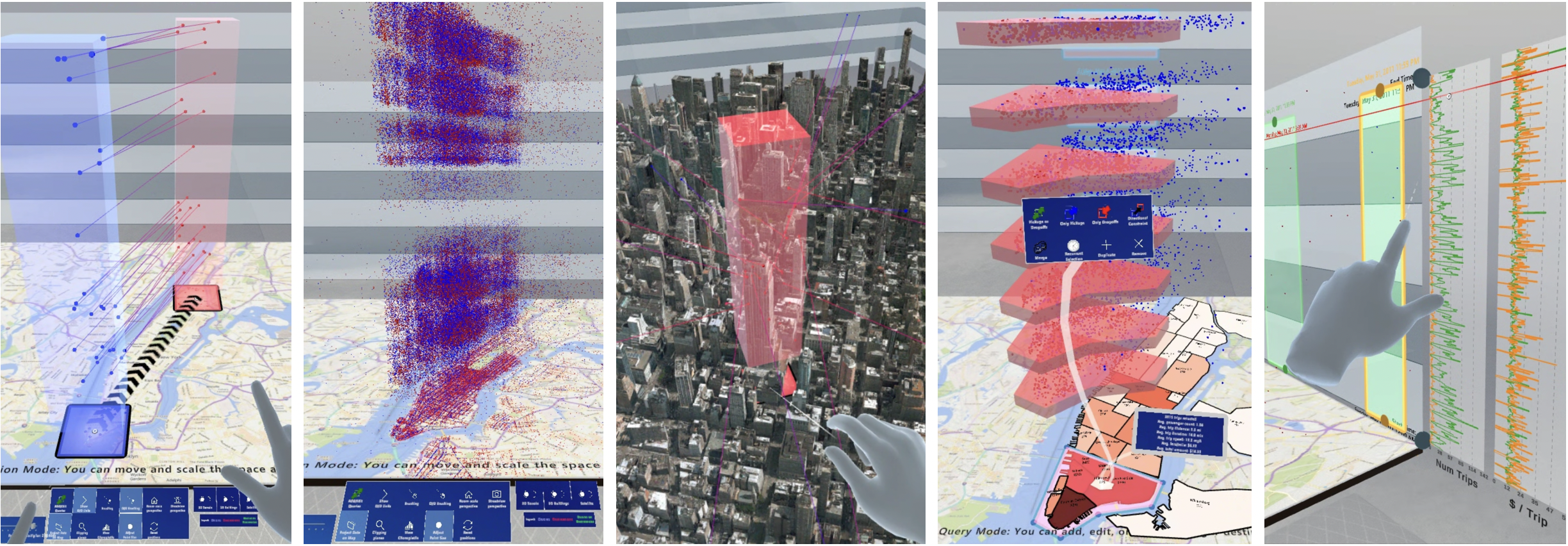
Recent studies suggest that immersion into 3D environments could increase the usability of 3D visualizations by facilitating 3D perception and easier interaction, and also better support collaboration between local or remote analysts. This is particularly relevant for domains with an obvious three-dimensional mapping, such as urban space-time data. To explore how a traditional visualization system could be adapted into an immersive framework, and how it could benefit from this, we decided to revisit a landmark paper presented ten years ago at IEEE VIS. TaxiVis, by Ferreira et al., enabled interactive spatial-temporal querying of a large dataset of taxi trips in New York City. Here, we reimagine how TaxiVis’ functionalities could be implemented and extended in a 3D immersive environment. Among the unique features we identify as being enabled by the Immersive TaxiVis prototype are alternative uses of the additional visual dimension, a fully-visual 3D spatio-temporal query framework, and the opportunity to explore the data at different scales and frames of reference. The intent behind our work is to complement and enhance established forms of visualization, not to replace them. Through reporting on our findings, and on the vision and reasoning behind our design decisions, we hope to contribute to the debate on how conventional and immersive visualization paradigms can help each other and also how the exploration of urban datasets can be facilitated in the coming years.
